Geographic Information Systems

Layers of the GIS analysis

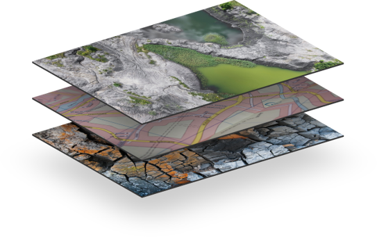
NeST GIS (Geographic Information Systems), established as the geospatial division of the NeST group is specialized in offering various software application solutions and consultancy services pertaining to the deployment of Geographic Information System (GIS) technology in various domains with main focus on Utilities, Aviation, Facilities management, Local Government among others.

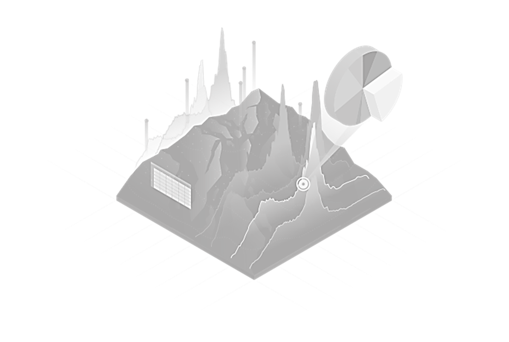
Apart from application and consultancy services, NeST GIS offers a wide variety of services. 

NeST GIS Services

Hands-On Expertise

NeST GIS has hands-on expertise in offering geospatial consultancy services in data and technology migration.

Data Development

NeST GIS offers data development services including LiDAR data processing.

Applications

On the application development front, we have rich blend of experience in different platforms viz., Mobile, Desktop and Server.

Wide Variety product portfolio.

NeST GIS clients are spread over Middle East, Europe and USA. Our product portfolio includes FliGIS, – a terrain profile generator for Flight planning operations, OFC Network Inventory – a solution for remote fiber monitoring and Marine Simulator – 3D simulation application for marine vessels and torpedoes.

""